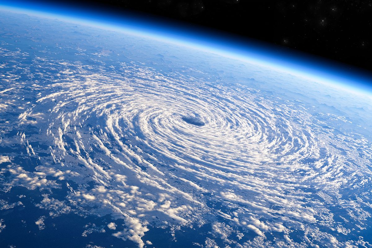
After months of near-total tranquility, the Atlantic Ocean has finally seen its first two hurricanes of the 2022 season. Hurricanes Danielle and Earl, which both developed hurricane-force winds over the past weekend, are now spinning northward through the ocean, where they are expected to dissolve in cold water before making direct landfall.
Despite this recent flurry of activity, this year's Atlantic hurricane season is still one of the quietest on record — and it seems likely to stay that way. This summer has seen historic floods, brutal heat waves, and rampaging wildfires strike the United States. So far, however, there have been no major hurricanes like those that have devastated the U.S. over the past few years. Although meteorologists are tracking a few more storm systems that may develop over the coming weeks, none is expected to present an imminent threat to residents of the Caribbean or American mainland.
Before Danielle and Earl, just three tropical storms had formed in the Atlantic this year, all of them in June. Just one of them, Alex, caused any noticeable effects on land, leading to a day of flash flooding in Miami, Florida. Tropical storm activity overall is just around 10 percent of its average so far this year, and if the trend continues 2022 will end up being the fourth quietest year in the last century. With the traditional peak of hurricane season coming up on September 10, it's looking more and more probable that the year will finish well below average.
"It's super weird," said Phil Klotzbach, a senior research scientist at Colorado State University, one of the leading hurricane forecasting institutions. "If you just showed me, 'here's what the winds look like,' I would have said we should have had a couple of hurricanes, probably at least one major hurricane — conditions are fairly conducive, and yet, nothing is going."
The dearth of tropical storm formation has come as a surprise to many meteorologists, especially given that every major hurricane model predicted an eventful season this year. Experts are still trying to figure out what's causing the reprieve. If anything, the symptoms still point toward a busier season: The world is experiencing a La Niña climate pattern, wherein cold Pacific Ocean temperatures reduce wind shear in the Atlantic, which should make it easier for storms to grow. And the Atlantic surface has been fairly hot for most of the year, with temperatures that are more than high enough to fuel storm development. It's just that very few storms have emerged.
The most likely explanation for the dry spell, said Klotzbach, is a large patch of dry air that has hung to the west of Africa for much of the past month, reducing overall moisture above the oceans. He added that this dry period may have been caused by the historic heat wave in Europe earlier this summer. The high-pressure system that burned Europe also made the tropics cooler, and the temperature differential between the regions allowed dry air to flow into the tropics, stymying the moisture buildup necessary for major storms.
The reprieve may continue in the coming years. Meteorologists project that the current multi-year La Niña may end as soon as this winter, shifting back toward an El Niño pattern that will kick up winds in the Atlantic and suppress many storms. Climate change actually has the potential to make things even quieter: according to recent research, a warming world may reduce the temperature differential between the ocean and the atmosphere above it, thus reducing the hot air movements that lead to tropical cyclones.
But though climate change has the potential to suppress storm activity, resulting in overall quieter hurricane seasons, it also provides more fuel for the storms that do form, because ocean temperatures in general are only getting warmer. Increasingly, once a cyclone hits the extra-warm waters of the Caribbean Sea, it experiences what's known as "rapid intensification" — ballooning in size, picking up speed, and reaching maximum strength before it hits land. This process often happens too fast for residents in these storms' paths to prepare.
"By this time of year, the temperatures are warm enough for anything to form. And the warmer and warmer it gets, the more explosive something can be," said Brian McNoldy, a research associate at the University of Miami who studies hurricanes. "Anytime we have a rapidly intensifying storm on its way to making landfall, we start to realize that evacuations are just impractical. It's really impossible to get large numbers of people out of harm's way when you have these short-fuse storms."
We've seen several examples of this phenomenon in recent years, including 2021's Hurricane Ida, which grew from a messy tropical formation to a high Category 4 hurricane in the span of about three days. Computer models were adept at predicting the storm's path, but the cyclone grew so fast as to make it impossible to evacuate coastal Louisiana cities like New Orleans and Baton Rouge in a timely manner. The results were catastrophic: Tens of thousands of New Orleanians were stuck in the city without power for days, and residents of the nearby River Parishes had to wait out dangerous flooding when levees near their homes collapsed.
These dynamics remain constant whether the overall hurricane season is active or relatively quiet, which is why McNoldy likes to say that "all it takes is one."
"We might have even not as many cyclones, but of the ones that form could become even stronger than they would have before," he told Grist.
Klotzbach said that the relationship between climate change and tropical storms is still murky: We only have about a hundred years of good data on hurricanes, which makes it hard to identify long-term trends. Even so, the lesson of the past few years is clear. The threat of climate-enhanced hurricanes is not that they're guaranteed to happen every summer, like wildfires, but that the worst of them can happen at any moment, with little notice.


Shares