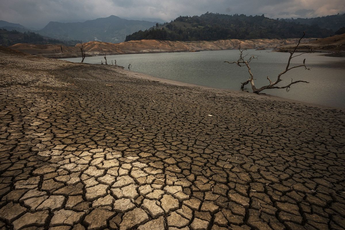
The last twelve months have been the hottest in recorded human history. This relentess pattern is being driven by human-caused climate change, but also El Niño, a natural part of our global weather cycle that results in hotter temperatures. Though we are now entering the colder La Niña phase of the El Niño–Southern Oscillation (ENSO), which should bring some cooler temperatures over several years, some experts say that our heating planet is so out of balance, the cooling could make little difference.
Even though our species' greenhouse gas emissions are raising Earth's temperatures to perilous levels, the La Niña phase is known to cool both ocean and land temperatures, potentially ameliorating extreme weather like heatwaves, wildfires and tropical storms.
"The forecast is for hotter and dryer in [the] western half of the US."
Yet when Salon reached out to experts about what people can expect in Summer 2024, the answer was the same: La Niña is a powerful force, but climate change is an even stronger one. The summer of 2024 will, unfortunately, be full of nasty weather.
"The forecast is for hotter and drier in [the] western half of the U.S.," Dr. Kevin Trenberth, a distinguished scholar at the National Center for Atmospheric Research, told Salon. "Influences of [sea surface temperatures] are less in summer owing to the way atmospheric dynamics works. Effects are bigger into the other hemisphere." In New Zealand, where Trenberth currently lives, residents are still seeing influences from the fading El Niño phase of the cycle. During the El Niño phase, sea surface temperatures are highest over the tropical Pacific, which means that drought is more common in various land areas. The result, as humanity learned over the last few years, is heat waves and wild fires.
"But going into La Niña, as forecast later this summer, it means that the Pacific is where the action is not favored and so it occurs elsewhere," said Trenberth. "More bits of rain mean cooler temperatures on land. This is a very general statement and the CPC from NOAA tries to add value by refining the patterns of weather."
Dr. Mark Serreze, director of the National Snow and Ice Data Center (NSIDC), said that it is going to be difficult to "pin down" the current phase's exact impact on the summer heat because it is not acting in a vacuum. While media coverage often makes the ENSO cycle seem like the single determinant of weather patterns during this time of year, the reality is much more complicated.
"There is so much more going on besides La Niña that can affect jet stream patterns and hence temperature and heat waves, notably, the very high sea surface temperatures over the North Atlantic," Serreze said. "La Niña years tend to be a bit cooler than El Niño years in the global average, in part because the absence of the warm water pool over the eastern tropical Pacific, so that may prevent us from reaching another record high global average temperature in 2024."
Yet because climate change has thrown a wrench into the way the system usually works, nothing can be predicted with confidence.
"There is more going on that just La Niña," said Serreze. "The ENSO cycle will likely always be with us, but as global temperatures continue to rise, it may become less important in terms of year to year variations in global temperature." Indeed, Serreze predicts an active hurricane season in 2024 because "in a La Niña, wind shear is reduced in the hurricane formation regions — hurricanes don't like wind shear" and "waters are very, very warm in the hurricane formations regions, and hurricanes feed on a warm ocean."
Want more health and science stories in your inbox? Subscribe to Salon's weekly newsletter Lab Notes.
"As global temperatures continue to rise, it may become less important in terms of year to year variations in global temperature."
Trenberth also anticipates more tumultuous tropical storms as a direct result of climate change. In general, climate change has shaken up what scientists can expect from the La Niña cycle.
"Mainly later in the summer, watch out especially for an active hurricane season in the Atlantic and real risk of flooding in the East and Southeast," said Trenberth. "It has been extraordinarily hot in India and southeast Asia as El Niño has held sway, but those regions could be in for some flooding events much later in the summer in the monsoon. In Australia the risk of heavy rains goes up also, later."
A 2023 study published in the journal Nature raised further questions about how the La Niña cycle's impact on weather is different now that global temperatures are rising.
We need your help to stay independent
"A three-year-long La Niña event beginning in 2020 had a key role in triggering consecutive seasonal droughts in parts of the United States and the Horn of Africa, and in causing floods in eastern Australia," the authors write. "This rare 'triple' La Niña sparked worldwide discussion about how global warming could change the duration of these formidable events."
For his part, Trenberth predicts that all weather patterns are being altered by climate change and that this "means all extremes are enhanced. Stronger rains where it rains, more rapid drying where it does not rain and risk of drought and wild fire. We see these extremes taking place in different parts of Africa at the same time."
Trenberth also has advice for citizens of the world: Start saving water.
"Water resources are paramount," said Trenberth. "Saving water from when we have too much for the inevitable times when we don't have enough is much needed and not done well. Often the part of government responsible for preventing flooding has nothing to do with the part responsible for water resources and preventing fires and drought. So excess water is channeled into a river or ocean and lost. Local government has a key role to play, but may not be well advised."


Shares